- English
- Русский
- Українська
Languages:
This site is created using Wikimapia data. Wikimapia is an open-content collaborative map project contributed by volunteers around the world. It contains information about 32820945 places and counting.
Learn more about Wikimapia and cityguides.
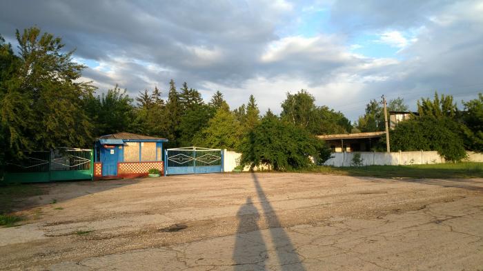
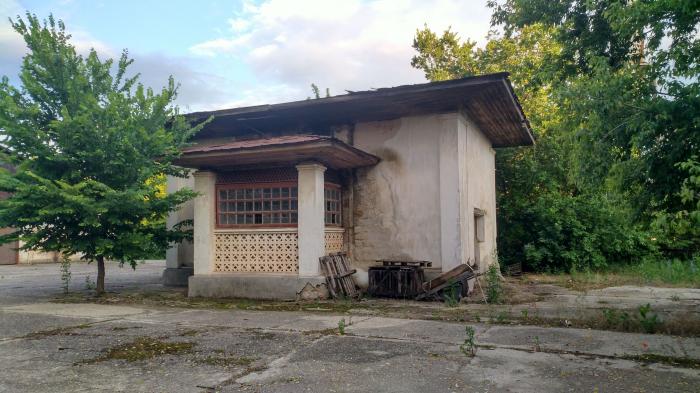
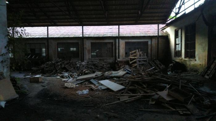
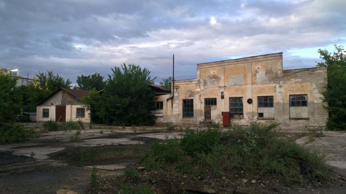
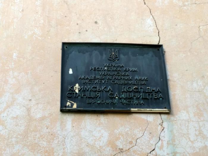
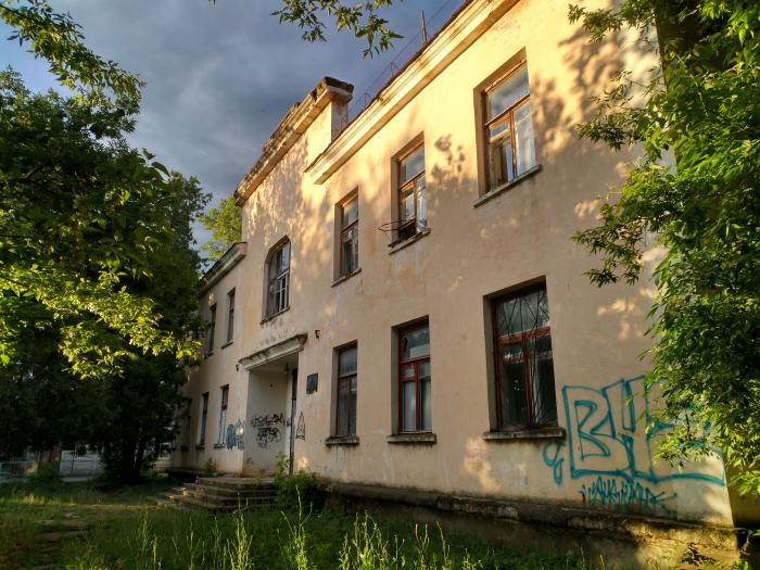
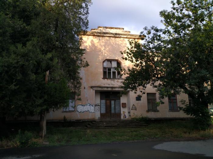
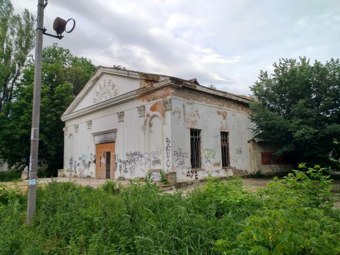
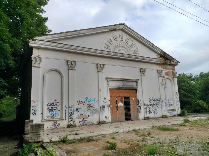
Gvardeyskoye/Hvardiiske
Wikipedia article: http://en.wikipedia.org/wiki/Hvardiiske
Gvardeyskoye/Hvardiiske on the map.